Pyramid Mountain is made up of Precambrian gneiss and schist (typical of the Highlands region). Boonton, NJ straddles the great Ramapo Fault along the western edge of the Newark Basin structural graben (basin). The high relief around Pyramid Mountain is a reflection of:
1. Differential erosion of the hard, fractured gneiss of the highlands in relation to the softer sedimentary rock of the Newark Basin.
2. Possible uplift of the Highlands region along the Ramapo Fault system. This fault may have been active since Precambrian time, with different directions of relative motion along the fault in different periods of its history, including our modern times since the glaciers have melted.
A new visitors center for the trail system is next to a large parking area on the west side of NJ Route 511 about .8 miles north of the intersection of Taylortown Road. (NJ 511 runs north out of Boonton.) Trail maps are available at the visitors center. Wear rugged shoes! It is muddy in places. Definitely plan for a long hike (with water, pack, and snacks).

Return to the HIGHLANDS PAGE...
Return to the
New York Bight Home Page
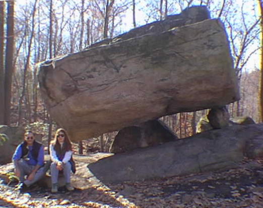
Phil Stoffer and Paula
Messina
CUNY, Earth & Environmental Science, Ph.D. Program
Hunter College, Department of Geography
Brooklyn College, Department of Geology
In cooperation with
Gateway National Recreational Area
U.S. National Park Service
March, 1997